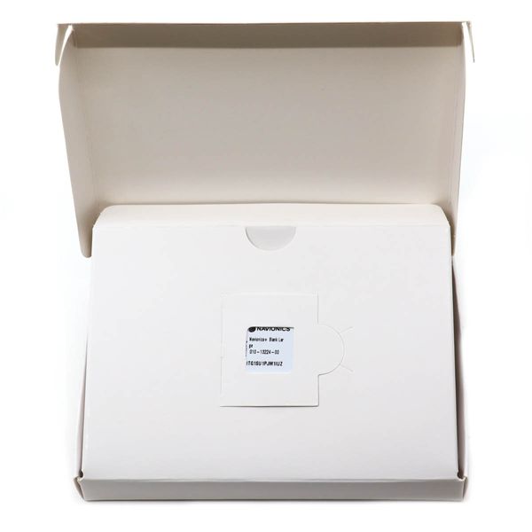
Navionics+ Blank Download - Large
010-13224-00 1 Year Warranty
£146.55
£249.32
Prix unitaire /
Indisponible
Free Delivery
Épuisé
41% de réduction
Sign up to be the first to know when it's here
Navionics+ Blank Download - Large est en rupture de stock et sera expédié dès qu’il sera de retour en stock.
Impossible de charger la disponibilité pour le Service de retrait
FAST FREE UK STANDARD SHIPPING*
FAST FREE UK STANDARD SHIPPING*
• Express delivery £7.99 (Monday-Friday, orders placed before 1pm)
• Click here for more delivery information
60 DAY NO QUIBBLE RETURNS
60 DAY NO QUIBBLE RETURNS
• 60 days hassle-free returns. - exclusions apply

Description
Description
Navionics comprehensive electronic navigation charts are derived from multiple official, government and private sources, displayed in a familiar look and feel. - Type: Navionics+ - Region code: NA - Coverage areas: Blank download - Size: Regular Navionics+ chart functionalities: o Sonarchart�Ѣ HD Bathymetry maps: Displaying up to 0.5 metre contours for a more detailed depiction of bottom structure, for improved fishing and navigation o Community Edits: The Community Edits content layer can be downloaded to any Navionics card allowing the user to view valuable, local information contributed by Navionics Boating app users on a compatible chartplotter o Dock-to-Dock Route Guidance: Navionics advanced route guidance technology* uses boat settings with chart data and frequently travelled routes, to calculate a suggested path to follow from start to end point o Sonarchart Live Mapping Feature: This feature enables the user to create their own maps on the fly and watch new 0.5 metre HD bathymetry maps develop in real time as the boat moves along the water** o Advanced Map Options: This option allows the user to change the way they view Navionics charts and focus on details that matter to them most, such as highlighting shallow areas, adjusting contour density or selecting a fishing range o Plotter Sync: The user can transfer routes and markers, update charts and more between the plotter card and Navionics Boating app wirelessly. The user can also activate or renew their cartography subscription and upload sonar logs *Route guidance is for planning purposes only and does not replace safe navigation operations. **Compatibility with Navionics advanced features varies depending on the chartplotter model.
Features
Features
Specifications
Specifications


